Trade Me tools
Understanding the new Auckland Flood Maps on Trade Me Property
What each layer means.
Last updated: 9 September 2025
AI summary
Trade Me Property now features Auckland Council flood maps on listings to help you assess potential risk. The maps show three key layers:
- Floodplains: Areas at risk from overflowing rivers in a major storm.
- Flood Prone Areas: Low-lying spots where water can pool.
- Overland Flow Paths: The natural route water takes during a downpour.
This information is a guide, not a guarantee. We always recommend getting a LIM report and professional advice before purchasing a property.

1. Floodplains
2. Flood Prone Areas
3. Overland Flow Paths
Quick Reminders
Discover More
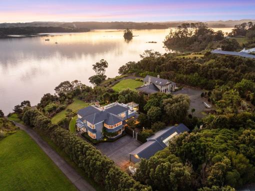
Historic home saved from demolition and turned into $6m waterfront paradise
A rescued Remuera villa is now a $6m-plus Mahurangi Harbour retreat with rich history and waterfront living.
.jpg)
Spotlight on Canterbury, local property market insights
Trade Me data shows Canterbury defying the property cooldown, with high demand for big homes and great townhouse deals.

